
![]() - Fiche du phénomène n° 88161001
- Fiche du phénomène n° 88161001
|
Identification |
|
|
Identifiant : |
88161001 |
Nom : | Grotte Saint-Martin |
|
Nature : |
cavité anthropique |
|
Commune : |
Escles |
|
|
|
|
Localisation |
|
|
X Lambert 93 (m) : |
937866 |
|
Y Lambert 93 (m) : |
6782968 |
|
Altitude (m) : |
380 |
|
Précision : |
correcte |
|
Carte topographique : |
3418O |
|
Carte géologique : |
339 |
|
|
|
|
Géologie |
|
|
Étage stratigraphique local : |
Buntsandstein supérieur |
|
Formation géologique : |
Couches intermédiaires |
|
Alluvions : |
non |
|
|
|
|
Hydrogéologie (BD LISA) |
|
|
Code de l'entité : |
143AK03 |
|
Libellé de l'entité : |
Couches intermédiaires et Conglomérat principal du Buntsandstein supérieur à l'est du Bassin Parisien (bassin Seine-Normandie et bassin Rhin-Meuse) |
|
|
|
|
Hydrographie (BD CARTHAGE) |
|
|
Zone Hydro : |
A520 |
|
Libellé de la Zone Hydro : |
Le Madon de sa source au ruisseau des Etangs (la Craque) (inclus) |
Hydrologie | |
Circulation : | non |
|
|
|
|
Circulations |
|
|
Traçage : |
non |
|
|
|
|
Influence anthropique |
|
|
Contexte minier : |
néant |
|
|
|
|
Spéléométrie |
|
|
Topographie : |
non |
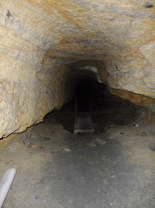
Développement souterrain (m) : | 45 |
Dénivelé souterrain (m) : | 5 |
|
|
|
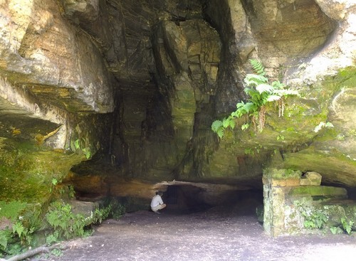
Illustrations | |

|
Divers |
|
|
Observations : |
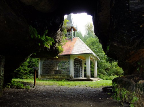
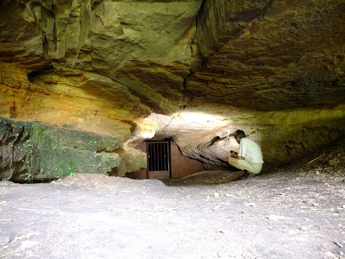
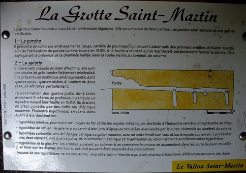
Porche partiellement naturel. Fouilles archéologiques |
|
|
|
|
Traçabilité |
|
|
Date de mise à jour : |
13/08/2011 |
Bibliographie : | |
|
|
|